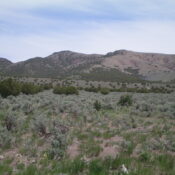
Peak 6220 by Livingston Douglas

This peak is not in the book. Published January 2023 Peak 6220 is a pyramidal hump located just above Sunny Cedar Rest Cemetery on the north side of Almo. This area is a mix of private and public land and this hike is almost entirely on BLM land, but it does cross a patch of private land at the cemetery. … Continue reading
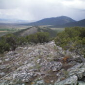
Peak 5721 by Livingston Douglas

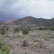
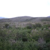
This peak is not in the book. Published January 2023 Peak 5721 is the southernmost of the ranked Cotterel Mountains. It is located on the north side of ID-77 east of Connor. This area is a mix of private and public land. The only reasonable public access is via its southeast side and the base of Rice Spring Road. This … Continue reading

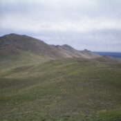
Peak 6388 by Livingston Douglas

This peak is not in the book. Published January 2023 Peak 6388 is a gentle hump located west of Elba and north of Cassia Creek. The best public access is via a jeep road that comes up the north ridge from Elba Road. USGS Elba Access From ID-77 in Elba, turn right/west onto Elba Road/1950S Road (which becomes FSR-548) and … Continue reading

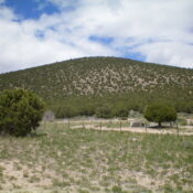
Peak 6330 by Livingston Douglas

This peak is not in the book. Published January 2023 Peak 6330 is a rather inconspicuous hump located at the south end of the Cotterel Mountains west of Malta. This is the first leg of a 2-peak journey that climbs Peak 6330 and nearby Peak 6562 from ID-77 to the west. This adventure covers 6.0 miles with 2,100 feet of … Continue reading

Peak 6024 by Livingston Douglas

This peak is not in the book. Published January 2023 Peak 6024 is a ranked hump that is located just north of Almo along ID-77. It is entirely on fenced, posted private land and is not accessible to the public. USGS Elba Access From ID-77 just north of Almo. You must obtain permission from the landowner before climbing this peak. … Continue reading

Peak 6368 by Livingston Douglas

This peak is not in the book. Published January 2023 Peak 6368 towers over Lava Lake to its southeast. The peak’s rugged south ridge extends down to US-20 just west of the lake. The easiest ascent route follows a 2-track road to the base of the west face. This is the first leg of a 2-peak adventure that includes Peak … Continue reading