Pickle Butte by Livingston Douglas

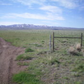
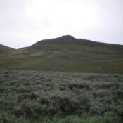
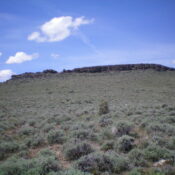
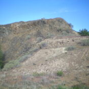
This peak is not in the book. This bump, not to be confused with nearby Pickles Butte, is on private property. Published November 2022 Pickle Butte sits alongside ID-55 at a sharp turn just east of Marsing, Idaho. This peak is on private property but there is no signage or fencing prohibiting entry. But this is Idaho and it is … Continue reading

Mud Flat Hill by Livingston Douglas

This peak is not in the book. Published November 2022 Mud Flat Hill is located at the crest of the Rogerson-Jarbidge Highway. It is on a ridgeline south of the highway. USGS Curtis Draw Access From Rogerson, ID, drive 29.9 miles west then southwest on the Rogerson-Jarbidge Highway to a crest in the road. Park in a pullout area here … Continue reading

Smelter Butte by Livingston Douglas

This peak is not in the book. Published November 2022 Smelter Butte is a minor butte that is located on the east side of FSR-134, just north of the Muldoon townsite and the junction of FSR-134 and FSR-126 at a private ranch entrance. This butte is on private land, though it is not fenced or posted. Please obtain permission from … Continue reading

Burnt Ridge by Livingston Douglas

This peak is not in the book. Published November 2022 Burnt Ridge is a rather unimpressive ridge that is located due north of Gopher Knoll and the King Hill Loop Road. It is just off I-84 and is east of the town of King Hill, Idaho. This is area is a mix of private and public land, so be careful. … Continue reading

Gopher Knoll by Livingston Douglas

This peak is not in the book. Published November 2022 Gopher Knoll is a small butte that is located just off I-84 and east of the town of King Hill. This is area is a mix of private and public land, so be careful. This hike is entirely on BLM land. Due to private land, Gopher Knoll is best climbed … Continue reading

Sugarloaf by Livingston Douglas

This peak is not in the book. Published November 2022 Sugarloaf is a handsome butte that is located on the south side of the Rogerson-Jarbidge Highway. It is most easily climbed from the northeast. This area is a mix of private and public land, so be careful. While the summit is on private land (not fenced or posted), almost all … Continue reading