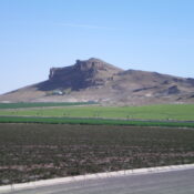
Peak 6700 by Livingston Douglas

This peak is not in the book. Published November 2020 Peak 6700 is located due west of Chimney Benchmark (7,162 feet). It sits above Salix Creek and has an intimidating southwest face. It is seldom climbed. This is the first leg of a 3-peak adventure that includes Peak 6700, Chimney Benchmark, and Peak 6641. This summit is located on State … Continue reading
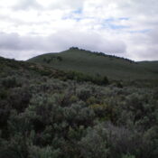
Chimney Benchmark by Livingston Douglas

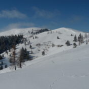
This peak is not in the book. For a winter ascent of this peak, use the three trip reports linked below. Published November 2022 Chimney Benchmark is a big mountain that separates Chimney Creek from Cow Creek in the Soldier Mountains. It has some old 2-track roads that will get you close to the summit area. The summit is located … Continue reading

White Butte by Livingston Douglas

This butte is not in the book. Published November 2022 White Butte is located due south of Walters Butte. The butte is located on posted, private land that is closed to the public. USGS Walters Butte Access White Butte is located southeast of Walters Ferry, ID. Turn right/east off ID-45 onto Walters Ferry Road and drive east to its [signed] … Continue reading

Walters Butte by Livingston Douglas

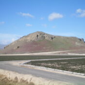
This peak is not in the book. The land owner has stressed that there is no public access and that he will not grant permission to climb the butte. Revised February 2024 Walters Butte is a distinctive volcanic feature that rises just north of the Snake River. It is on posted, private land that is closed to the public. It … Continue reading

Peak 5821 by Livingston Douglas

This peak is not in the book. Published November 2022 Peak 5821 is a hump that is sandwiched between North Junipers HP and South Junipers HP. This area is a mix of private and public land, so be careful. This hike can be done entirely on BLM land. Peak 5821 can be climbed either solo or in combination with North … Continue reading

Sunset Ridge by Livingston Douglas

This butte is not in the book. Published November 2022 Sunset Ridge is located due south of Tin Cup Butte. It is located on the east side of the Arco-Minidoka Road about 13 miles south of Arco, Idaho. It is most easily climbed in combination with Tin Cup Butte (5,590 feet) to its north. USGS Quaking Aspen Butte Access Same … Continue reading