Sugarloaf by Livingston Douglas

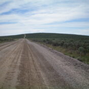
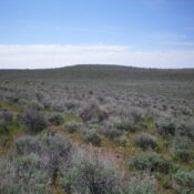
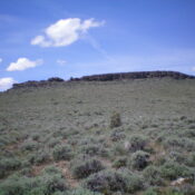
This peak is not in the book. Published November 2022 Sugarloaf is a handsome butte that is located on the south side of the Rogerson-Jarbidge Highway. It is most easily climbed from the northeast. This area is a mix of private and public land, so be careful. While the summit is on private land (not fenced or posted), almost all … Continue reading
Crows Nest by Livingston Douglas

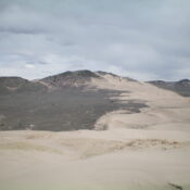
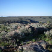
This peak is not in the book. Published November 2022 Crows Nest is located due east of Thorn Creek Reservoir in the Bennett Hills. It is a named summit. It is unclear how it got its name. It is overshadowed by its neighbor to the east, the Lincoln County HP (5,950 feet), which is only slightly higher and is almost … Continue reading

Ninemile Knoll by Livingston Douglas

This peak is not in the book. Published November 2022 Ninemile Knoll is a sagebrush hump that is located at the southwest end of the St. Anthony Sand Dunes Area. It is easily reached via 400N, a well-graded dirt road that heads west from the Parker, Idaho area. USGS Plano Access From Exit 337 (North Rexburg) on US-20, drive north … Continue reading

West Butte by Livingston Douglas

This peak is not in the book. Published November 2022 West Butte is located on BLM land. However, there is a lot of private land that surrounds it. It is possible to climb it from Egin Lakes to its southeast entirely on BLM land but it will be an arduous slog through sandy terrain on a very up-and-down route. It … Continue reading

Wrangle Hill by Livingston Douglas

This peak is not in the book. This is a rather minor protuberance. It would be interesting to know the history behind the name of a hill with eight feet of prominence considering how many Idaho peaks are unnamed. Published November 2022 Wrangle Hill is located on the south side of Davis Mountain Road in the Bennett Hills. It is … Continue reading