China Hat by Livingston Douglas

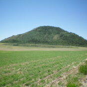
This peak is not in the book. Published January 2023 China Hat is the larger/higher of two pyramidal humps that are located just below the south end of Blackfoot Reservoir. Its little brother is called China Cap (6,716 feet). Well, I guess that fits. Both China Hat and China Cap require crossing private property, so please obtain permission from the … Continue reading
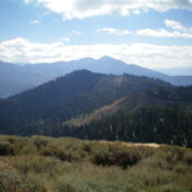
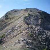
Peak 8116 by Livingston Douglas

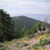
This peak is not in the book. Published January 2023 Peak 8116 is a forested hump that sits at the head of both Mike Spencer Canyon and Corral Canyon in the Snake River Range. Based on my findings, it is a haven for grizzly bears. I found bear beds (in the field grass), berry bushes, fresh bear scat, and bear … Continue reading

Sheep Creek Peak by Livingston Douglas

Climbing and access information for this peak is on Page 338 of the book. Published January 2023 Sheep Creek Peak is the high point on a ridgeline at the headwaters of Sheep Creek in the Snake River Range. Sheep Creek Trail/FST-096 gets you in the neighborhood but not to the summit. If combined with a climb of Sheep Mountain (9,700 … Continue reading

Ross Peak by Livingston Douglas

This peak is not in the book. Published January 2023 Ross Peak is located northeast of Swan Valley, Idaho. The easiest approach is from Rainey Creek Road/FSR-257 to its south. This is the first leg of a 3-peak adventure that includes Ross Peak, Peak 8191, and Peak 7843. This journey covers 10.2 miles with 3,325 feet of elevation gain round … Continue reading

Peak 6062 by Livingston Douglas

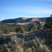
This peak is not in the book. Published January 2023 Peak 6062 is the high point of a long ridgeline that sits on the east side of Coal Banks Creek in the South Hills. It is most easily climbed from Coal Banks Creek Road/FSR-681 to its south. Peak 6062 is a minor hump at the north end of this long … Continue reading

Peak 5420 by Livingston Douglas

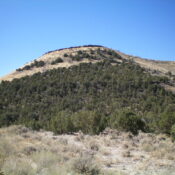
This peak is not in the book. Published January 2023 Peak 5420 is located on the east side of Goose Creek in the foothills of the Albion Mountains. It separates Day Canyon from Wilson Gulch. The summit is actually at about 5,380 feet as the final contour line is questionable and was not shown on earlier USGS maps. My altimeter … Continue reading