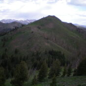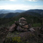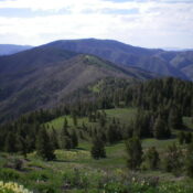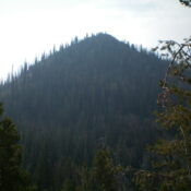
Bonanza Peak by Livingston Douglas

This peak is not in the book. Published November 2022 Bonanza Peak is a high peak that is situated east of Yankee Fork Road and at the head of Preachers Cove. It stands at the headwaters of Jerrys Creek, Adair Creek, and Cearley Creek in the Eastern Salmon River Mountains. Bonanza Peak is most easily reached via the Fourth of … Continue reading
Peak 6540 by Livingston Douglas

This peak is not in the book. Published November 2022 Peak 6540 is a minor hump on the south ramparts of Appendicitis Hill. It is most easily climbed from Newman Canyon and should be climbed in combination with nearby Peak 7028. USGS Appendicitis Hill Access Same as for Peak 7028. This is the second leg of a 2-peak adventure. Northwest … Continue reading

Peak 7028 by Livingston Douglas

This peak is not in the book. Published November 2022 Peak 7028 is a bump on the south ramparts of Appendicitis Hill. It is most easily climbed via its south ridge from a county road that runs along the base of the mountains in the Appendicitis Hill area. USGS Appendicitis Hill Access From the junction of US-93 and US-20 in … Continue reading

Peak 9105 by Livingston Douglas

This peak is not in the book. Published November 2022 Peak 9105 and its sister peak (Peak 8930) are tucked in between Adams Gulch and the Rooks Creek drainage in a seldom-visited part of the Smoky Mountains. They are most easily climbed together from Warm Springs Road to the south. USGS Griffin Butte Access Same as for Peak 8930. This … Continue reading

Peak 8930 by Livingston Douglas

This peak is not in the book. Published November 2022 Peak 8930 and its sister peak (Peak 9105) are tucked in between Adams Gulch and the Rooks Creek drainage in a seldom-visited part of the Smoky Mountains. They are most easily climbed together from Warm Springs Road to the south. USGS Griffin Butte Access From ID-75 in Ketchum, turn diagonally … Continue reading

Peak 8445 by Livingston Douglas

This peak is not in the book. Published November 2022 Peak 8445 sits at the southeast end of a ridgeline that separates the West Fork Warm Springs Creek from Moonlight Gulch. It is overshadowed by its more popular brother (Allen Mountain) to its east. It is best climbed in combination with nearby Allen Mountain. USGS Griffin Butte Access From ID-75 … Continue reading