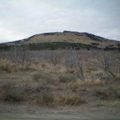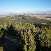
This peak is not in the book. Published November 2020 Peak 5550 is one of two ranked summits in the Stone Hills. The Stone Hills are a small group of rock-and-juniper hills that are located at the tail end of the Sublett Range southwest of Holbrook, ID. Peak 5550 is most easily accessed via BLM-644. Combine Peak 5550 with a … Continue reading
Search Results for: a cl
This peak is not in the book. Published November 2020 Stone Hills HP is the highest of two ranked summits in the Stone Hills. The Stone Hills are a small group of rock-and-juniper hills that are located at the tail end of the Sublett Range southwest of Holbrook, ID. Stone Hills HP is most easily accessed via BLM-644 and BLM-180. … Continue reading
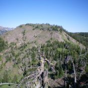
This peak is not in the book. Published November 2020 Peak 5820 is a forested hump with a cliffed summit block. It is located on the east side of North Canyon and most easily climbed from a road junction at the base of its west face. Peak 5820 is readily visible from a good distance thanks to the open sagebrush … Continue reading
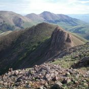
This peak is not in the book. Published 2020 Peak 8787 is located on the Continental Divide in the Eastern Centennials. It sits above the headwaters of Myers Creek (ID) and Willow Creek (ID) and overlooks Blair Lake (MT) to the north. The routes described are part of a 2-peak journey that includes Peak 8432 and Peak 8787. USGS Mount … Continue reading
This peak is not in the book. Published November 2020 Red Conglomerate Peaks North is shown as “Divide Benchmark” on the USGS topo map. It sits on the Continental Divide unlike the higher, ranked Red Conglomerate Peaks South to its south and is the site of a USGS benchmark. This climb is part of a four-peak odyssey that includes Cobble … Continue reading
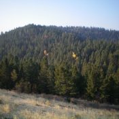
This peak is not in the book. Published November 2020 Peak 7620 South is one of two peaks that share exactly the same elevation. Unlike Peak 7620 North, which is a narrow ridgeline summit in mostly open terrain, Peak 7620 South is a forested summit that hides from view. The easiest ascent route is from Deer Creek Road/FSR-156 southwest of … Continue reading