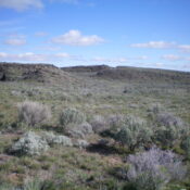
Peak 8267 by Livingston Douglas

This peak is not in the book. Published November 2022 Peak 8267 towers over the confluence of the East Fork Valley Creek and Valley Creek in the Sawtooth Range west of Stanley. It is most easily reached from the end of Valley Creek Road on its west side. USGS Elk Meadow Access From ID-21 west of Stanley, turn right/north onto … Continue reading
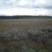
Nip Benchmark by Livingston Douglas

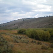
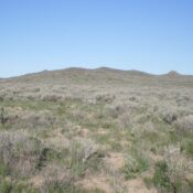
This peak is not in the book. Published November 2022 Nip Benchmark sits above Nip and Tuck Creek to its south. It is at the headwaters of Kelly Creek to its north. Nip Benchmark separates Joes Gulch from Stanley Creek. It is easily climbed via its south ridge from Nip and Tuck Road. USGS Basin Butte Access Nip and Tuck … Continue reading

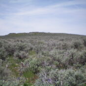
Fingers Butte by Livingston Douglas

This peak is not in the book. Published November 2022 Fingers Butte is a rather insignificant hump that is located just west of the Arco-Minidoka Road about 15 miles south of Arco, Idaho. It is most easily climbed via its east face, entirely on BLM land. USGS Fingers Butte Access The Arco-Minidoka (A-M) Road begins southwest of Arco, just off … Continue reading

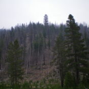
Sheridan Ridge by Livingston Douglas

This peak is not in the book. Published November 2022 Sheridan Ridge is a forested ridge that is located on the south side of Sheridan Reservoir in Clark County. It is most easily reached via Lower Sheridan Ranch Road. This area is a patchwork of private and public land. This route is almost entirely on BLM land. There is a … Continue reading