CENTENNIAL MOUNTAINS

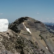
The Centennial Mountains are discussed on Pages 331-335 of the book. The range forms both the Continental Divide and the Idaho/Montana border for 62 miles, from Monida Pass at I-15 to Red Rock Pass east of Yellowstone National Park. The range is 12 miles wide in places. In the west, the range begins as series of high rolling ridges that … Continue reading
Lone Pine Peak

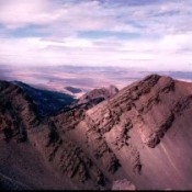
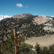
Climbing and access information for this peak is on Page 232 of the book. Updated June 2022 Lone Pine Peak is a big, isolated peak seldom visited by climbers. It is a great destination. You are likely to see wild horses roaming this country. USGS Lone Pine Peak Access Primary access is from Bradshaw Basin to the south. [(D)(1) on … Continue reading

Kelly Mountain

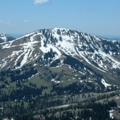
This peak is not in the book, although I skied to its summit several times in the late 1970s and early 1980s. Given the popularity of Kelly Mountain, this page contains route descriptions by Rick Baugher, and Livingston Douglas. The Jefferson County HP is located on the slopes of this mountain. Updated November 2019 Kelly Mountain is a broad hump-shaped peak … Continue reading

Mount Baird

Climbing and access information for this peak is on Page 339 of the book.  Mount Baird, the Bonneville County High Point and the highest peak in the Snake River Range, is a gorgeous mountain with expansive views. This page augments the information found in the book, which focuses on the north ridge route. Livingston Douglas and Margo Mandella provided corrections … Continue reading

Piney Peak

Climbing and access information for this peak is on Page 338 of the book. Updated November 2018 There is a question as to whether Piney Peak or Garns Mountain is the highest Big Hole Mountain peak. Ken Jones writes: “Garns Mountain (9,016 feet) and Piney Peak (9,019 feet) as of July 9, 2001. I’m not sure where you got the … Continue reading

BIG HOLE AND SNAKE RIVER MOUNTAINS

These mountains are located east of Idaho Falls and north of the Snake River. Although designated as two separate ranges by the USGS map makers, the Big Hole and Snake River ranges are physically and geologically the same group of mountains. These mountains form a tangled web of ridges, streams, aspen thickets and meadows that rise out of the Snake … Continue reading