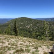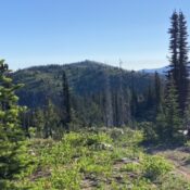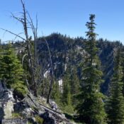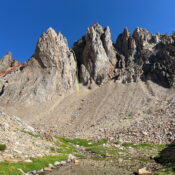
This peak is not in the book. This intriguing summit was finally climbed on August 21, 2022 by Derek Percoski and Daniel Todd. Published August 2022 Naturally, East Thompson Peak is located due east of Thompson Peak. The peak is a conglomeration of broken towers. USGS Stanley Lake Access Take the Fishhook Creek Trail [(A)(6)(d) on Page 207]. The trail … Continue reading
Book Updates
This peak is not in the book. Livingston Douglas added three new photos. Updated November 2022 This peak is located northwest of Ketchum, Idaho in an area populated by numerous sub-10,000 foot peaks. Although this area is probably most often used by ATVers and hunters, it has a number of worthwhile summits. Given its position, Lost Cliff Peak is an … Continue reading
This peak is not in the book. Published July 2022 Peak 7992 is located northeast of Square Mountain on the east side of Square Mountain Creek. USGS Marble Butte Access See Square Mountain for access information. There is a large trailhead for FST-388 on FSR-444 at roughly mile 11.0. Park here. South Ridge, Class 2 Follow FST-388 to the south … Continue reading
This peak is not in the book. Published July 2022 Nut Basin Lookout is the northwesternmost peak on a the ridge system that includes Southwest Butte. The peak was used as a fire lookout as early as 1915. A structure was constructed on the summit in 1927. The structure was destroyed in 1957. As you would expect, the view is … Continue reading
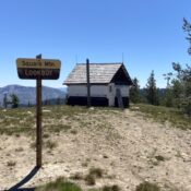
This peak is not in the book. Published July 2022 Square Mountain sits deep inside the Gospel Hump Wilderness. A road corridor penetrates into the wilderness and ends on this peak’s summit at a fire lookout that was built in 1931. The lookout was manned into the early 1970s. The structure was repaired in the late 1990s. The view to … Continue reading
This peak is not in the book. Published July 2022 Peak 8119 is located due south of Tower Knob and due east of Gospel Peak. USGS Hanover Mountain Access See Pyramid Peak for access information and the map below. East Ridge, Class 2 Although not shown on the USGS quadrangle or the Forest Service maps, there is a fisherman’s trail … Continue reading