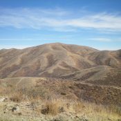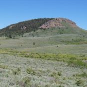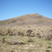
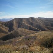
This peak is not in the book. Published November 2020 Peak 6610 is a scrub-covered hump that is situated on the west side of Holloway Canyon and the south side of Rock Creek in the Sublett Mountains. It is overshadowed by its neighbor to the southeast, Quaking Aspen Mountain (7,230 feet). Peak 6610 is most easily climbed from Crazy Canyon … Continue reading
Search Results for: a cl
This peak is not in the book. Published November 2020 Peak 6844 is a rather insignificant scrub hump located due south of Quaking Aspen Mountain (7,230 feet). It is connected to Quaking Aspen Mountain by a weaving, undulating ridgeline. Peak 6844 is the second peak of a three-peak adventure that includes Quaking Aspen Mountain, Peak 6844, and Peak 6770. USGS … Continue reading
This peak is not in the book. Published November 2020 Quaking Aspen Mountain is situated above both Holloway Canyon to the north and Crazy Canyon to the west. It is mistakenly labeled “Quaking Asp Mountain” on the USGS topo map. Quaking Aspen Mountain is a behemoth in this area, with a steep north aspect. It is the first peak in … Continue reading
This peak is not in the book. Published November 2020 Peak 8432 is located on the Continental Divide about two miles west-southwest of mighty Mount Jefferson (10,203 feet). It sits at the headwaters of Tin Cup Creek (ID) and above Hell Roaring Creek and Lillian Lake (MT). The easiest ascent route is via the east ridge from a saddle near … Continue reading
This peak is not in the book. Published November 2020 Little Butte, as its name implies, is a little butte located on the south side of US-20 and is east of the infamous “Three Buttes” (Big Southern Butte, Middle Butte, and East Butte). Little Butte is barely visible from US-20 not because of an intervening ridge blocking the view but … Continue reading
This peak is not in the book. Published November 2020 Opal Mountain is the high point in a heavily-mined area northeast of Spencer, ID. It separates East Threemile Creek from West Fork Rattlesnake Creek. It requires a short bushwhack up its north side to reach the summit. The south side of Opal Mountain is privately-owned and has several old mines … Continue reading