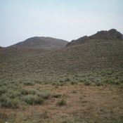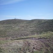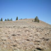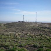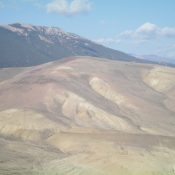
This peak is not in the book. Published November 2021 Peak 7459 is a dominating scrub hump that is located due west of Peak 7030 and west of Grand View Canyon. This is the second leg of a 2-peak adventure that includes Peak 7030 and Peak 7459. It covers 7.5 miles with 2,750 feet of elevation gain round trip. USGS … Continue reading
Search Results for: a cl
This peak is not in the book. Published November 2021 Peak 7030 is located on the west side of Grand View Canyon along US-93 south of Challis. USGS Antelope Flat Access This is the first leg of a 2-peak adventure that includes Peak 7030 and Peak 7459. It covers 7.5 miles with 2,750 feet of elevation gain round trip. Park … Continue reading
This peak is not in the book. Published November 2021 Peak 7886 is a scrub hump that is located on the north side of Bear Creek and the west side of Death Canyon in the Pioneer Mountains. It is most easily climbed from FSR-522 via its southeast ridge. USGS Miller Peak Access Antelope Road (signed) is located on US-93 exactly … Continue reading
This peak is not in the book. There is no public access. Published November 2021 Shattuck Butte is located east of Bonny Benchmark and west of I-15/Exit 128 (Osgood Area), about 9 miles north of Idaho Falls. This peak is located on private land, so obtain permission from the landowner before undertaking this hike. The butte is on the north … Continue reading
This peak is not in the book. Published November 2021 Pine Summit is a sagebrush hump that is located close to FSR-079. An old 2-track road leads to the gravelly summit. There are no pines on the summit but there are pines on its west and north sides. USGS Twin Peaks Access From US-93 at the north end of Challis, … Continue reading
This peak is not in the book. Published November 2021 Bonny Benchmark is located west of I-15/Exit 128 (Osgood Area), about 9 miles north of Idaho Falls. This peak is located on private land, so please obtain permission from the landowner before undertaking this hike. An old 2-track road leads most of the way to the summit. USGS Shattuck Butte … Continue reading