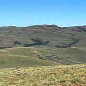
Peak 8871 by Livingston Douglas

Peak 8871 (center) and its northeast ridge as viewed from the West Modoc/Middle Modoc ridge crest to its northeast. Livingston Douglas Photo

This peak is not in the book. Published November 2020 Peak 8871 is one of two peaks that sit on a ridgeline at the head of West Modoc Creek and Middle Modoc Creek. The other peak is Peak 8860. Peak 8871 sits just behind, and southwest, of the ridgeline proper. There is an ATV trail/road on the ridge crest (FST-013) … Continue reading
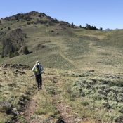
Peak 7340 by Livingston Douglas

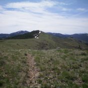
Looking up the final stretch of the northwest ridge at the summit of Peak 7340. Livingston Douglas Photo

This peak is not in the book. Published October 2020 Peak 7340 is the high point on a ridge line that parallels Mahogany Ridge. Rash Canyon separates these two ridges that sit south of Fall Creek Canyon. Like many of the Caribou Ranges, the northwest ridge of Peak 7340 has its ups and downs, but they are not as pronounced … Continue reading

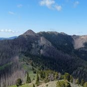
Peak 6420 by Livingston Douglas

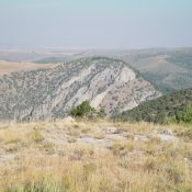
Peak 6420 (dead center, mid-ground) as viewed from Peak 6796 to its southeast. Livingston Douglas Photo

This peak is not in the book. Published October 2020 Peak 6420 sits above The Narrows: a rugged, cliff-faced section of Wolverine Canyon in the Blackfoot Mountains. Hikers drive past this peak on their way to Taylor Mountain, which is another 2.4 miles up Wolverine Road. Peak 6420 is an easy scramble from a gully to its east and offers … Continue reading

Peak 9344

Peak 9344 viewed from the east.

This peak is not in the book. Livingston Douglas added a new route starting at the Horse Wallow drainage which is set out down the page. Updated November 2021 Peak 9344 is located west of Corral Creek Summit on the broad, complicated ridge that runs between Corral Creek Summit and Porphyry Peak. USGS Lehman Butte Access Primary access is via … Continue reading

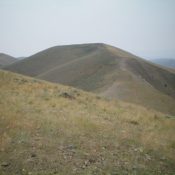
Peak 9463

Peak 9463 viewed from the north.

This peak is not in the book. Livingston Douglas added the southeast spur/east ridge route to this page. Updated November 2020 This attractive summit is located between on the broad, complicated ridge that runs between Corral Creek Summit and Porphyry Peak. USGS Lehman Butte Access Primary access is via the FS-142/Burma Road [(B)(2) on Page 265]. Follow the Burma Road … Continue reading

Peak 9315 (South Dollarhide Peak)

Peak 9315 viewed from Dollarhide Mountain.

This peak is not in the book. Published July 2020 This interesting cone-shaped peak is located just south of Dollarhide Summit west of Ketchum, Idaho. USGS Dollarhide Mountain Access FS-227/Warm Springs Creek Road [(A)(7) on Page 214]. Google Maps gives directions to the summit from Ketchum and Fairfield, Idaho. There is parking on the north side of the pass. Northeast … Continue reading