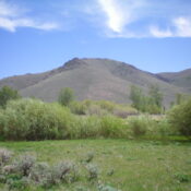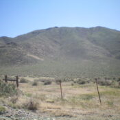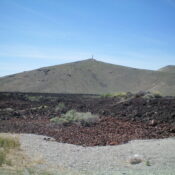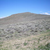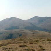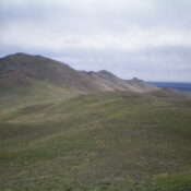
This peak is not in the book. Published January 2023 Peak 6368 towers over Lava Lake to its southeast. The peak’s rugged south ridge extends down to US-20 just west of the lake. The easiest ascent route follows a 2-track road to the base of the west face. This is the first leg of a 2-peak adventure that includes Peak … Continue reading