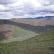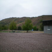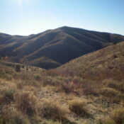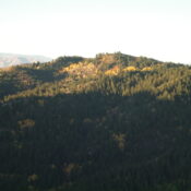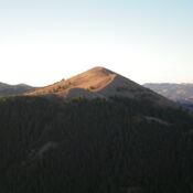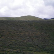
This peak is not in the book. Published January 2023 Sam Benchmark is the high point of a long north-south ridge that sits on the east side of Big Hollow in the Samaria Hills. It is most easily reached from Malad Pass Road to its west. This area is a mix of private and public land, so be careful. This … Continue reading