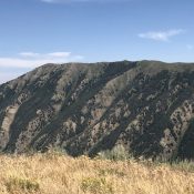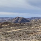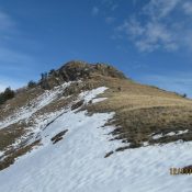
This peak is not in the book. Russ Durrant wrote the initial entry for this peak. Livingston Douglas added the new routes set out down the page. Updated November 2022 This steep climb out of Cub River Canyon in Franklin County offers a satisfying challenge for novice to experienced climbers. Nearby peaks in the Self Help drainage offer a muti-peak … Continue reading
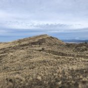
Search Results for: a cl
This peak is not in the book. Published December 2021 Lower Titus Peak (Peak 10005) is located on a high ridgeline in the Smoky Mountains that runs from Galena Summit south to Saviers Peak (10,441 feet). USGS Galean Access Same as for Titus Weather Station. This is the second leg of a magnificent 5-peak ridge traverse that includes Titus Weather … Continue reading
This peak is not in the book. Published December 2021 Peak 9921, unofficially called Titus Weather Station is located on a high ridgeline in the Smoky Mountains that runs from Galena Summit south to Saviers Peak (10,441 feet). A small, solar-powered weather station sits atop the ridge bump. The 5-peak ridge traverse covers 8.0 miles with 4,025 feet of elevation … Continue reading
This peak is not in the book. Published December 2021 Peak 5140 is located on Cherry Ridge north of Emmett, Idaho at the southern end of the West Mountains. It is the highest point on Cherry Ridge between the Sehewoki’I Newenee’an Katete complex and Cherry Spring Benchmark. It has an amazing view of numerous areas including Sehewoki’I Newenee’an Katete, the … Continue reading
This peak is not in the book. Livingston Douglas added a photo which shows the peak from a different perspective. Updated November 2022 Ohio Benchmark, locally known as Mindbender, is located north-northeast of Hailey on a ridge line that divides Ohio Gulch and East Fork Wood River. It is a large peak with an exceptional view of the Hyndman Peak … Continue reading
This peak is not in the book. Livingston Douglas added the East Face/Shoulder Route to this page. Updated November 2022 This attractive peak sits at the east end of the divide that splits Kent Gulch and Hatty Gulch which both dump into Rock Creek. It is a treeless peak and can be climbed through the sagebrush from any direction. USGS Richardson … Continue reading