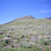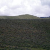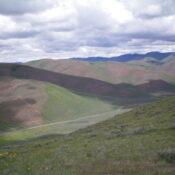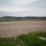
This peak is not in the book. Published January 2023 Peak 5245 is the high point on a long north-south ridge that is located northeast of Oakley, Idaho in the foothills of the Albion Mountains. This ridge looks like an elongated butte when viewed from ID-77 north of Oakley. This area is a mix of private and public land, so … Continue reading
Search Results for: a cl
This peak is not in the book. Published January 2023 Peak 5940 is a ridgeline hump that separates Big Cottonwood Creek from Big Cedar Canyon in the South Hills. It has a very steep east face. Peak 5940 is most easily climbed from Big Cedar Canyon Road/FSR-528 and its north ridge. USGS Buckhorn Canyon Access From ID-27 north of Oakley, … Continue reading
This peak is not in the book. Published January 2023 Peak 6727 is a modest hill that is located at the north end of the Jim Sage Mountains, east of the main ridge crest. It is most easily climbed via its north side from a nearby BLM road. This area is a mix of private and public land, so be … Continue reading
This peak is not in the book. Published January 2023 Sam Benchmark is the high point of a long north-south ridge that sits on the east side of Big Hollow in the Samaria Hills. It is most easily reached from Malad Pass Road to its west. This area is a mix of private and public land, so be careful. This … Continue reading
This peak is not in the book. Published January 2023 Peak 6156 is located west of Big Hollow and south of Holbrook Summit in the Samaria Hills. It is most easily reached from Malad Pass Road to its east. This area is a mix of private and public land, so be careful. This hike is entirely on BLM land. USGS … Continue reading
This peak is not in the book. Published January 2023 Red Hill is located at the south end of Pocatello, just above the Mountain View Cemetery. Although Red Hill is on private land (probably City of Pocatello land), public access is allowed and an unofficial trail leads to the summit. USGS Pocatello South Access From Exit 67 on I-15 in … Continue reading