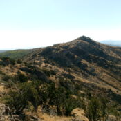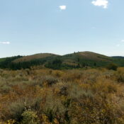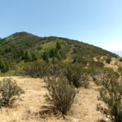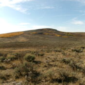
This peak is not in the book. The name was proposed by Rick Baugher. Published November 2024 Peak 7026 sits above the headwaters of both Spring Creek andTwentyfour Mile Creek in the Chesterfield Range. While the summit is on private land (according to LOJ’s Land Management Map), I encountered no signage or fencing to prohibit entry. This climb is almost … Continue reading
Book Updates
This peak is not in the book. Published November 2024 Peak 6848 sits above Tenmile Pass at the southeast end of the Chesterfield Range. It separates Tenmile Creek from Mabey Canyon. Most of this climb is on BLM land. However, the summit is on private land that has been actively mined for phosphate. USGS Hatch Access From US-30 east of … Continue reading
This peak is not in the book. Published November 2024 Peak 6826 sits atop a high ridge on the east side of the Portneuf Valley and directly south of Little Flat Canyon in the Chesterfield Range. This area is a mix of private and public land, so be careful. This climb is entirely on BLM land. USGS Hatch Access From … Continue reading
This peak is not in the book. Published November 2024 Peak 7230 is the second-highest peak in the Chesterfield Range, only surpassed by Windy Ridge (7,307 feet) to its northwest. Peak 7230 sits above the headwaters of Moses Canyon, Tolman Canyon, and Thompson Creek. It is most easily climbed via a 2-track road on its northwest ridge from Cow Camp … Continue reading
This peak is not in the book. Published November 2024 Thirtyfive Mile Benchmark is the northernmost ranked summit in the Fish Creek Range. It is a beautiful, rocky peak. However, it is located on posted, private land and is closed to the public. USGS Chesterfield Access From US-30 at virtual MM371.7 (0.4 miles east of Lava Hot Springs), drive north … Continue reading
This peak is not in the book. The name was proposed by Rick Baugher. Published November 2024 Peak 7496 towers over Beaver Basin to its south. Its summit area is a wicked mix of large boulders/blocks and thick mountain mahogany. The easiest route to the top is via its south face from Fish Creek Road to its southwest. This area … Continue reading