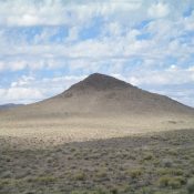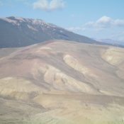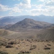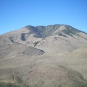
Blue Mountain by Livingston Douglas

This peak is not in the book. Published November 2021 Blue Mountain is a magnificent, forested peak that towers over US-93 about two miles south of Challis. USGS Bayhorse Access Same as for Peak 6281.This is the second leg of a 2-peak adventure that includes Peak 6281 and Blue Mountain (8,340 feet). It covers 9.5 miles with 3,850 feet of … Continue reading
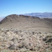
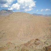
Peak 6281 by Livingston Douglas

This peak is not in the book. Published November 2021 Peak 6281 is a rocky, ridgeline summit that is located northeast of Blue Mountain (8,340 feet). It sits above the junction of US-93/ID-75 and the Land of the Yankee Fork State Park just south of Challis. Peak 6281 is most easily reached by an ATV trail that comes up from … Continue reading

Peak 5788 by Livingston Douglas

This peak is not in the book. Published November 2021 Peak 5788 sits east of the Salmon River and is just southeast of the junction of US-93 and ID-75 south of Challis. Due to extensive private property in this area, Peak 5788 is difficult to reach on public land. This climb is entirely on BLM land so stay on course … Continue reading

Peak 5727 by Livingston Douglas

This peak is not in the book. Published November 2021 Peak 5727 is the highest hump of several humps that are located on the west side of Warm Spring Creek. It is the lowest ranked summit in Custer County and rarely has snow covering it. There is a lot of private ranch land in this area, so be careful to … Continue reading

Peak 7459 by Livingston Douglas

This peak is not in the book. Published November 2021 Peak 7459 is a dominating scrub hump that is located due west of Peak 7030 and west of Grand View Canyon. This is the second leg of a 2-peak adventure that includes Peak 7030 and Peak 7459. It covers 7.5 miles with 2,750 feet of elevation gain round trip. USGS … Continue reading

Peak 7030 by Livingston Douglas

This peak is not in the book. Published November 2021 Peak 7030 is located on the west side of Grand View Canyon along US-93 south of Challis. USGS Antelope Flat Access This is the first leg of a 2-peak adventure that includes Peak 7030 and Peak 7459. It covers 7.5 miles with 2,750 feet of elevation gain round trip. Park … Continue reading