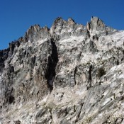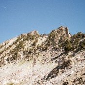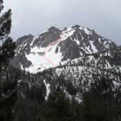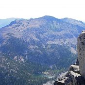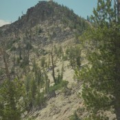
Climbing and access information for Custer Peak is on Pages 131-132 of the book. Custer Peak is located 5 miles east of the Bonanza Creek Guard Station and the Yankee Fork Salmon River. The summit is identified on the Challis National Forest map as Custer Lookout. The defunct lookout is available for public use on first-come basis. Custer Peak, the … Continue reading
Search Results for: a cl
Climbing and access information for this peak is on Page 196 of the book. The peak is misnamed in the book as Mayan Temple. Ray Brooks explained the confusion has extended since 1972. Ray reports “ In Sept. 1972, we did make a nice first ascent of a pinnacle on the ridgeline just north of Japan Peak. We named the … Continue reading
Climbing and access information for this peak is on Pages 197-198 of the book. This peak is named after Robert and Miriam Underhill who did many first ascents in the range. USGS Warbonnet Peak … Continue reading
Climbing and access information for this peak is on Page 204 of the book. Blacknose Mountain rises up just north of Queens Pass. The high point is a short, steep, talus climb from the pass. USGS Mount Everly … Continue reading
Climbing and access information for this peak is on Page 159 of the book. This peak sits across a spectacular cirque from McGown Peak. While not as popular with climbers, it is every bit as interesting as its more famous neighbor. The route in the book climbs up the Northwest Face. John Platt and Michael Pelton pioneered a new route up … Continue reading
Climbing and access information for this peak is on Page 124 of the book. Judi Steciak has provided new route information below. Dave Pahlas provided route information for the peak’s Southwest Ridge. Dave’s trip report is linked below. Updated September 2019 Sheepeater Mountain is a Bighorn Crag summit that is located due south of Mount McGuire. USGS Mount McGuire West … Continue reading