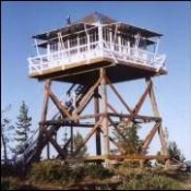
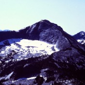
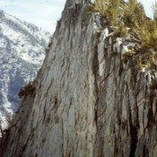
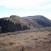
Climbing and access information for this peak is on Page 60 of the book. The Forest Service states of this peak: “Part of the Marble Creek trail system. This trail has a gradual ascent to an abandoned lookout tower. However, much of the route is a fairly level grade atop a high ridge which provides the hiker with expansive views … Continue reading
Search Results for: a cl
Climbing and access information for this peak is on Page 84 of the book. Here are improved directions to the peak’s trailhead: From Coeur d’Alene, drive east on I-90 approximately 50 miles to Wallace, Idaho. Take Exit 61. Drive north for 7.2 miles on FSR-456 to Dobson Pass. At the pass, turn right onto Sunset Peak Road. Travel east 4 … Continue reading

This peak is not in the book. This information is from the Panhandle National Forest web site. Arid Peak Lookout is set on a 20 foot tower and overlooks the beautiful Loop Creek area and the scenic “Route of the Hiawatha rail-trail”. It is on the National Historic Register of Fire Lookouts. Getting to the lookout requires a moderate 3 … Continue reading

Climbing and access information for this peak is on Pages 43-45 of the book. Check out the book for technical routes. Use the link below for the Hike North Idaho website and a recent trip report. USGS Mount Roothaan … Continue reading

Climbing and access information for this peak is on Page 112 of the book. Updated October 2021 Storm Dome is located directly southeast of Storm Peak. Its northeast face is one of Idaho’s most impressive granite walls. Although the peak 800-850 foot vertical face was described in the book rock climbers seemed oblivious to the wall’s potential until 2021 when … Continue reading

Climbing and access information for this peak is on Page 103 of the book. Cuddy Mountain is the highest point in the Cuddy Mountains. It is also the Washington County High Point. It has 3,207 feet of prominence which ranks it 25th in Idaho. This peak was named after John Cuddy, an early settler who owned the first flour mill … Continue reading