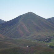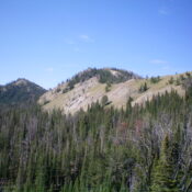
This peak is not in the book. Published November 2022 Peak 9615 is located on the main north-south Smoky Mountains crest about two miles south of Prairie Creek Peak (10,138 feet) and about two miles north of Baker Lake. It is most easily reached via trails on its east side from the Norton Lakes trailhead. USGS Baker Peak Access Same … Continue reading
Search Results for: a cl
This peak is not in the book. Published November 2022 Prospect Hill (or Prospectors Hill) sits due east of Sun Valley, Idaho and northeast of Dollar Mountain. It has a foot trail around its perimeter called the Prospect Loop Trail. Prospect Hill is most easily climbed from that trail with a short, off-trail bushwhack to the summit. USGS Sun Valley … Continue reading
This peak is not in the book. Published November 2022 Peak 8120 is a hulking mass that towers over the expensive homes on East Gulch Road near Indian Creek. It is most easily climbed from the northwest from Indian Creek Road. A few small sections of this peak are on private property, including the summit. USGS Hailey Access From ID-75 … Continue reading
This peak is not in the book. Published November 2022 Dollar Mountain is developed as a ski hill by the historic Sun Valley Resort to compliment the resort’s main downhill installation on Bald Mountain. It sits due south of the resort and has a few chairlifts on its north slopes. Dollar Mountain is most easily climbed via its northeast shoulder … Continue reading
This peak is not in the book. Published November 2022 Peak 9642 is the high point on a ridge that separates Wilson Creek from Long Gulch in the Pioneer Mountains. It is located southwest of Devils Bedstead West. It is most easily climbed from the Long Gulch Trail/FST-123. USGS Phi Kappa Mountain Access From the junction of Sun Valley Road … Continue reading
This peak is not in the book. Published November 2022 Peak 7483 is a beautiful, steep, ridgeline summit that is located on the west side of Cove Creek. It towers over Driveway Gulch and is most easily climbed via its east ridge from Cove Creek Road/FSR-124. Although there is private land nearby, this climb is entirely on BLM land. USGS … Continue reading