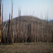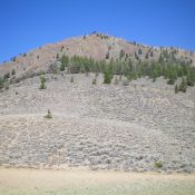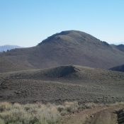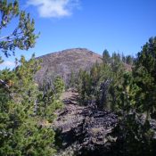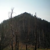
This peak is not in the book. Published November 2021 Peak 9654 is located on a ridgeline that separates Elevenmile Creek from Ninemile Creek. It is most easily climbed from Elevenmile Creek Trail/FST-4148 and its northeast side. Peak 9654 has a steep, forested west face that has numerous hidden rock faces and gullies. Have good navigational skills before undertaking the … Continue reading
Search Results for: a cl
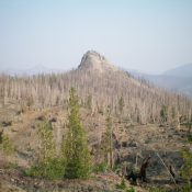
This peak is not in the book. Published November 2021 Eleven Miles Benchmark towers over Yankee Fork, McKay Creek, and Elevenmile Creek in the Eastern Salmon River Mountains. This entire area is a major burn area with lots of loose terrain and standing snags, so be advised. USGS Elevenmile Creek Access Same as for Peak 8805. This is the first leg … Continue reading
This peak is not in the book. Published November 2021 Peak 8805 is a delightful little hill that is located on the west side of McKay Creek. This entire area is a major burn area of the Eastern Salmon River Mountains. Lots of loose terrain and standing snags, so be advised. USGS Elevenmile Creek Access This is the first leg … Continue reading
This peak is not in the book. Published November 2021 Corkscrew Mountain is a magnificent peak that is the high point on a ridge line that separates Challis Creek from Mill Creek. It is most easily accessed from FSR-079, a jeep/ATV road on its south side. The east ridge is probably the easiest ascent route. The south side route described … Continue reading
This peak is not in the book. Published November 2021 Peak 7420 is a gentle scrub hump that sits above Cartwright Gulch, west of Challis. Due to private land issues, it is most easily accessible from the Custer Motorway near the Challis National Forest boundary. This hike is entirely on BLM land and is mostly a road hike. USGS Pats … Continue reading
This peak is not in the book. Published November 2021 Peak 9498 is located on the south side of Mill Creek on a long, undulating ridgeline. It has a steep north face. The easiest ascent route is the southeast ridge from Buster Lake. Please consult Rick Baugher’s trip report for more details on the southeast ridge route. USGS Bayhorse Lake … Continue reading