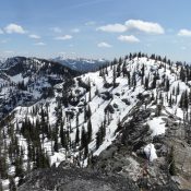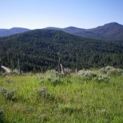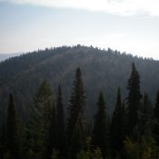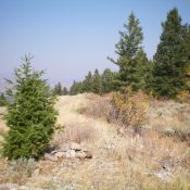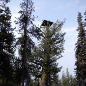
This peak is not in the book. Published December 2020 Eagle Nest is located northeast of Cascade, Idaho. It was an early fire lookout comprised of a platform built high in a tree. USGS Eagle Nest Access There are various access routes in this area of many roads. Eagle Nest Trailhead. The road to the Eagle Nest trailhead is signed … Continue reading