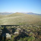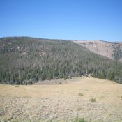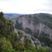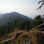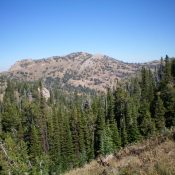
This peak is not in the book. Published November 2020 Peak 9584 is the highest point on the north side of Rock Creek Basin in the Eastern Centennials. It is overshadowed by its neighbor to the southwest, mighty Mount Jefferson (10,203 feet). Peak 9584 sits above Lake Marie and is most easily climbed via its southwest ridge and the Rock … Continue reading
Search Results for: a cl
This peak is not in the book. Published November 2020 Peak 8780 is located on the Continental Divide in the South Beaverheads. It sits above the headwaters of Poison Creek (MT) and is in a remote section of the Continental Divide. The CDT follows the crest of the Continental Divide in this area of easy, open scrub but it is … Continue reading
This peak is not in the book. Published November 2020 Knoll Benchmark (also called “Knoll”) is located on the Continental Divide in the South Beaverheads just west of Monida Pass at I-15. It is a relatively meaningless bump on the undulating, weaving Continental Divide. It is easily climbed from Modoc Road to its south. There is a lot of private … Continue reading
Idaho climbing and access information for peak is on Page 323 of the book where, consistent with local usage, it is identified as Bear Peak. Livingston Douglas provided the Montana access and route information found below. Published November 2020 Bear Benchmark is a ridgeline summit on the Continental Divide. It sits above the headwaters of both Big Bear Creek (ID) and … Continue reading
This peak is not in the book. Published November 2020 Peak 6796 is one of two peaks that tower over The Narrows: a rugged, cliff-faced section of Wolverine Canyon in the Blackfoot Mountains. The other peak is Peak 6420 to its northwest. Each has a combination of gentle sides and a wickedly-steep, cliffy side. Beware of the mix of private … Continue reading
This peak is not in the book. Published November 2020 Twin Peaks West is the high point on a long northwest-to-southeast ridge that includes Peak 7669 to its northwest and [the lower] Twin Peaks East to its southeast. The shortest access to the peak is via FST-213 (an ATV trail/road) to its northwest and a bushwhack and ridge traverse on … Continue reading