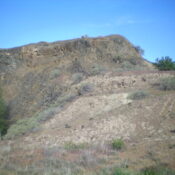
Peak 8151 by Livingston Douglas

This peak is not in the book. Published November 2021 Peak 8151 is located northwest of the Bonanza townsite. It is one of three ranked summits that have Jordan Creek to the east and the West Fork Yankee Fork to the south. USGS Mount Jordan Access This is the first leg of a 3-peak adventure that includes Peak 8151, Peak … Continue reading

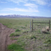
Rocky Pine Peak by Livingston Douglas

This peak is not in the book. Published November 2021 Peak 7962 (Rocky Pine Peak) is a forested outcrop that is located between Fivemile Creek and Sixmile Creek on the south side of the Yankee Fork. It is a ranked bump on the west ridge of Peak 9559. Peak 7962 has a hidden, Class 4 summit block that has probably … Continue reading

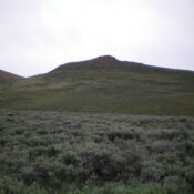
Rookie Point by Livingston Douglas

This peak is not in the book. Published November 2021 Rookie Point towers over the junction of Yankee Fork Road and Loon Creek Road and is just north of the Bonanza townsite. It has a beautiful south face with the Bonanza Guard Station at its base. While there is an old 2-track road in a gully on its west side, … Continue reading

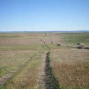
Peak 8767 by Livingston Douglas

This peak is not in the book. Published November 2021 Peak 8767 is located at the head of Armison Gulch on a ridgeline that separates West Fork Creek from Challis Creek. It sits south-southeast of North Twin Peak (10,196 feet) and South Twin Peak (10,340 feet) and provides outstanding views of both peaks. Peak 8767 is most easily reached from … Continue reading

White Mountain East by Livingston Douglas

This peak is not in the book. Published November 2021 The east summit of White Mountain is labeled as “White Mountain” on the USGS topo map even though it is not the high point of White Mountain. The Board of Geographic Names corrected this error in 2021. Nevertheless, the name will still be on older maps for many years to … Continue reading

Blue Mountain by Livingston Douglas

This peak is not in the book. Published November 2021 Blue Mountain is a magnificent, forested peak that towers over US-93 about two miles south of Challis. USGS Bayhorse Access Same as for Peak 6281.This is the second leg of a 2-peak adventure that includes Peak 6281 and Blue Mountain (8,340 feet). It covers 9.5 miles with 3,850 feet of … Continue reading