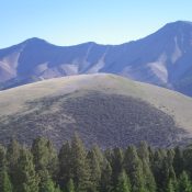
Peak 9315 by Livingston Douglas

This peak is not in the book. Published November 2021 Peak 9315 is located on the north side of Horseheaven Pass in the Lost River Range. Its south face is a STEEP scramble from the pass. This is the first leg of a 2-peak journey that includes Peak 9315 and Peak 8624. It covers 5.5 miles with 2,125 feet of … Continue reading
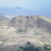
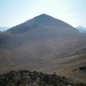
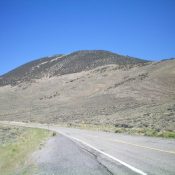
Peak 8860 by Livingston Douglas

This peak is not in the book. Livingston climbed this peak along with its three neighbors. See the Spring Hill page for vehicle access information if you want a shorter hiking day. Published November 2021 Peak 8860 is a gentle hump that is located on the east side of Doublespring Pass Road between Spring Hill and Peak 8937. It sits … Continue reading

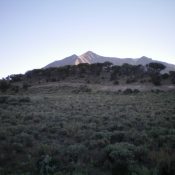
Peak 7668 by Livingston Douglas

This peak is not in the book. Published November 2021 Peak 7668 towers over Little Antelope Flat to its west. It is sandwiched between Lime Creek to the north and Devil Canyon to the south. Much of this scramble is on open scrub but, surprisingly, the upper terrain is quite rocky. Not what you would expect from a desert peak. … Continue reading

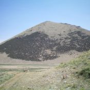
Peak 8435 by Livingston Douglas

This peak is not in the book. Published November 2021 Peak 8435 is located above Arentson Gulch and across a dry gully from Peak 8473. This is the second leg of a 2-peak adventure that includes Peak 8473 and Peak 8435. The journey covers 8.5 miles with 2,500 feet of elevation gain round trip. There is private ranchland in sections … Continue reading

Peak 8473 by Livingston Douglas and IACG

This peak is not in the book. Livingston Douglas created the original page for this peak. His route can be characterized as the ‘Hard Man” route. I climbed the peak from the northwest via a much easier “Old Man’ route. My route is found down the page. Updated July 2023 Peak 8473 is the high point on a massive ridgeline … Continue reading

Peak 7541 by Livingston Douglas

This peak is not in the book. Published November 2021 Peak 7541 is a minor scrub hump that is located along Doublespring Pass Road. It sits above the Earthquake Information Site and is on a separate ridge just west of the south ridge of Dickey Peak (11,141 feet), the high point of the Pahsimeroi Mountains. USGS Dickey Peak Access From … Continue reading