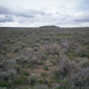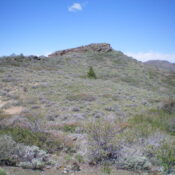
This peak is not in the book. Published November 2022 Canyon Benchmark is a minor peak in the Bennett Hills. It is located on the west side of Mount Bennett Road and sits above Little Canyon and Goodman Flat to its east. This area is a mix of private and public land, so be careful. This hike is entirely on … Continue reading