Blanchard Ridge by Livingston Douglas

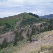
This peak is not in the book. Published January 2023 Blanchard Ridge is located on a high ridge on the southwest side of Pole Canyon, south of Victor. This is the second leg of a 3-peak journey that includes Peak 8308, Blanchard Ridge (7,982 feet), and Peak 7704. This adventure covers 7.5 miles with 2,800 feet of elevation gain round … Continue reading
Peak 8308 by Livingston Douglas

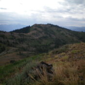
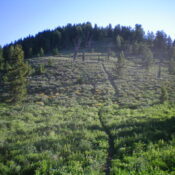
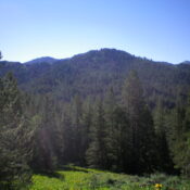
This peak is not in the book. Published January 2023 Peak 8308 is located at the head of Pole Canyon, south of Victor. It is most easily reached via the Pole Canyon Trail/FST-014 and its south ridge. This is the first leg of a 3-peak journey that includes Peak 8308, Blanchard Ridge (7,982 feet), and Peak 7704. This adventure covers … Continue reading

Fourth of July Peak by Livingston Douglas

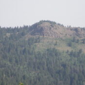
This peak is not in the book. Published January 2023 Fourth of July Peak is located southeast of Pine Creek Pass and is the namesake peak in this area. It sits above Rainey Creek and is most easily climbed via its northwest shoulder and FST-051. USGS Fourth of July Peak Access From ID-31 at Pine Creek Pass, drive south up … Continue reading

Peak 8619 by Livingston Douglas

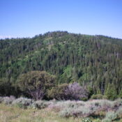
This peak is not in the book. Published January 2023 Peak 8619 is located on a ridge crest about midway between Thunder Mountain (8,662 feet) and Red Mountain (8,697 feet). It separates Lookingglass Creek from Holter Creek. This is the second leg of a 2-peak adventure that includes Red Mountain and Peak 8619. The journey covers 11.8 miles with 3,325 … Continue reading

Red Mountain by Livingston Douglas

Climbing and access information for this peak is on Page 338 of the book. Please note that the book states the elevation at 8,715 feet, not 8,697 feet (LOJ and USGS topo map). Published January 2023 Red Mountain is located on a ridge crest at the head of Red Creek and Cave Canyon in the Big Hole Mountains. This is … Continue reading

Campbells Hump by Livingston Douglas

This peak is not in the book. Published January 2023 Campbells Hump (or Coal Benchmark) is a nice rocky outcrop that is located on a ridgeline that separates the North Fork of Packsaddle Creek from the South Fork of Packsaddle Creek. The headwall on its south face is magnificent and makes for a nice Class 3 scramble. USGS Packsaddle Lake … Continue reading