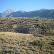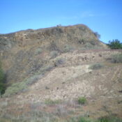
Split Butte by Livingston Douglas

This peak is not in the book. Published January 2023 Split Butte is located east of Whiskey Butte and northeast of Minidoka, ID in Blaine County. It is most easily reached from Desert Road to its west. Yes, Split Butte has two summits and, when viewed from the west, is obviously split in two. The north summit is the high … Continue reading
The Temple

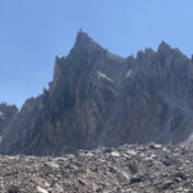
This peak is not in the book. Published November 2022 The Temple is an imposing spire that sits due west of Mount Cramer. Although the formation was officially named in 1965 the name has yet to show up on USGS or Forest Service maps. I do not know of any ascents on this formation. USGS Mount Cramer Access FST-101/FST-154, Redfish … Continue reading

Peak 7292 by Livingston Douglas

This peak is not in the book. Published November 2022 Peak 7292 is located along Cove Creek in the Pioneer Mountains. It separates Fowler Gulch from Moran Creek. Peak 7292 is most easily climbed via its east ridge from Cove Creek Road/FSR-124. USGS Baugh Creek SW Access From ID-75, drive 7.9 miles northeast up East Fork Road to an unsigned … Continue reading

Phantom Hill by Livingston Douglas

This peak is not in the book. Published November 2022 Phantom Hill is located along ID-75 north of Ketchum. Amazingly, this rather inconsequential hill has a sign alongside the highway to identify it (see photo). Phantom Hill is most easily climbed from ID-75 but finding a safe place to park is the crux of this climb. In addition, safely hiking … Continue reading

Pickle Butte by Livingston Douglas

This peak is not in the book. This bump, not to be confused with nearby Pickles Butte, is on private property. Published November 2022 Pickle Butte sits alongside ID-55 at a sharp turn just east of Marsing, Idaho. This peak is on private property but there is no signage or fencing prohibiting entry. But this is Idaho and it is … Continue reading

Mud Flat Hill by Livingston Douglas

This peak is not in the book. Published November 2022 Mud Flat Hill is located at the crest of the Rogerson-Jarbidge Highway. It is on a ridgeline south of the highway. USGS Curtis Draw Access From Rogerson, ID, drive 29.9 miles west then southwest on the Rogerson-Jarbidge Highway to a crest in the road. Park in a pullout area here … Continue reading