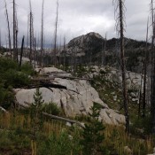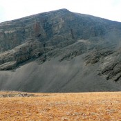
Climbing and access information for this peak is on Page 113 of the book. The recommended route in the book climbs the peak’s western slopes from the north end of Box Lake. This update contains additional routes. Updated September 2021 Beaverdam Peak is the most impressive peak between the Lick Creek/Yellow Pine Road and the Warren Wagon Road. The peak … Continue reading