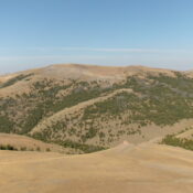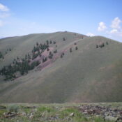
Peak 7300 by Livingston Douglas

This peak is not in the book. Published November 2023 Peak 7300 is the second-highest point on a high ridgeline that separates Agency Creek from Pattee Creek in the Beaverhead Mountains. Although the interpolated measurement is 7,300 feet, Peak 7300 measures at about 15 feet lower than the high point of Pattee Benchmark (7,307 feet) so it is actually at … Continue reading
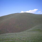
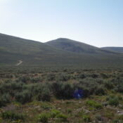
Pattee Benchmark by Livingston Douglas

This peak is not in the book. Published November 2023 Pattee Benchmark is the high point on a high ridgeline that separates Agency Creek from Pattee Creek in the Beaverhead Mountains northeast of Tendoy. This area is a mix of private and public land, so be careful. Pattee Benchmark is best climbed in combination with its neighbor, Peak 7300. The … Continue reading

Center Ridge by Livingston Douglas

This peak is not in the book. Published November 2023 Center Ridge is a gentle hump that is located east of Gilmore Summit along ID-28 south of Leadore. Its west ridge is an easy sagebrush scramble from the highway. USGS Gilmore Summit Access Gilmore Summit (signed) is located along ID-28 south of Leadore, ID. It is at virtual MM71.5 (Leadore … Continue reading

Peak 9500 by Livingston Douglas

This peak is not in the book. Published November 2023 Peak 9500 is the first ranked summit on the Continental Divide south of Lemhi Pass. While reachable via the CDT on the Continental Divide, both the approach from the north and from the south are very long. The west side of Peak 9500 is the shortest approach and comes up … Continue reading

Peak 8100 by Livingston Douglas

This peak is not in the book. Published November 2023 Peak 8100 is a forested, ridgeline hump that sits between the Pattee Creek drainage and the East Fork Kenney Creek drainage in the forested foothills of the west side of the Continental Divide northeast of Tendoy, Idaho. It is most easily reached from the Lewis and Clark Backcountry Byway, which … Continue reading

Peak 9968 by Livingston Douglas

This peak is not in the book. LiDAR measurements have replaced the USGS quadrangle measurement of 9,965 feet. Updated November 2024 Peak 9965 is one of three high 9,000-foot peaks located above the Chamberlain Creek drainage (Peak 9911, Peak 9743, and Peak 9965). Peak 9965 sits west of the Continental Divide and is entirely within the State of Idaho. USGS … Continue reading