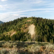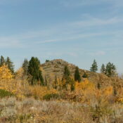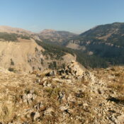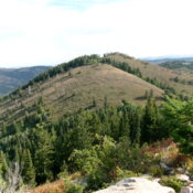
This peak is not in the book. Published November 2024 Peak 7818 is one of three 7,000-foot, ranked summits that sit on a high ridge that separates South Fork Rainey Creek from North Fork Rainey Creek in the Snake River Range northeast of Swan Valley, Idaho. Peak 7847 is to its east and Peak 7740 lies to its southwest on … Continue reading