Sacajawea Peaks, East (South Doublet)

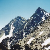
Climbing and access information for this peak is on Page 322 of the book. As of 2001, the peak is now officially named Sacajawea Peaks, East. Rick Baugher made the first recorded ascent of this peak in 1998. He named it South Doublet. South Doublet and North Doublet are perhaps the most impressive peaks in the range. I like Rick’s … Continue reading
Sacajawea Peaks, West (North Doublet)

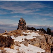
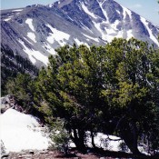
Climbing and access information for this peak is on Page 322 of the book. As of 2001, this peak is now officially named Sacajawea Peaks, West. Rick Baugher made the first ascent of this peak in 1998 and named it North Doublet. This is an impressive peak with difficult access. Use the link below to read a trip report from … Continue reading

Elkhorn Peak

Climbing and access information for this peak, identified as Elkhorn Mountain, is on Page 356 of the book. Locals and the USGS identifies this, the highest point on Elkhorn Mountain, as Elkhorn Peak.  The route information in the book is still accurate with the exception that the Forest Service changed the trail numbers from 133 and 134 to 333 and … Continue reading

Tendoy Peak

Climbing and access information for this peak is on Page 296 of the book. Tendoy Peak is approached from the impressive Bear Valley Lakes Basin [(A)(10.2)(a) on Page 316]. Livingston Douglas has provided detailed route information for his ascent and descent routes on the peak’s Northeast Ridge and Southeast Face. It is likely that his lines are first ascents/descents on … Continue reading

Pillar Butte by Livingston Douglas

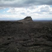
Pillar Butte is the source of the immense Wapi volcanic flow which is part of the Great Rift. It is a remote, rugged butte on the Snake River Plain that has an exciting, rocky finish. Yes, the summit is a pillar (see photo). You must cross an extensive, but easy, area of hardened lava flows to reach the summit ridge … Continue reading

Bald Peak by Livingston Douglas

Climbing and access information for this peak is on Page 336 of the book. Based on LiDAR measurements the elevation is now 10,192 feet. Updated November 2024 Bald Peak is an impressive, rocky summit that sits high on the Continental Divide and the ID/MT border northwest of Targhee Pass. It can be approached via either the Targhee Creek Trail (as … Continue reading