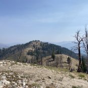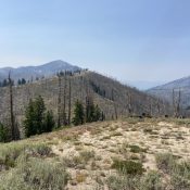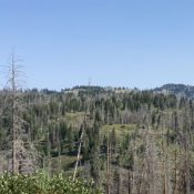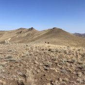
Peak 6140

This peak is not in the book. Published August 2021 This peak is located on BLM land west of Whiskey Mountain. USGS Rooster Comb Peak Access The only public access to this peak from Reynolds. From Reynolds, follow Whiskey Mountain Road to its junction with Chipmunk Road. Follow Chipmunk Road and then a 2-track to the base of the peak’s … Continue reading
Cherry Benchmark by Judi Steciak

This peak is not in the book. Published August 2021 Cherry Benchmark is located southwest of Liberal Mountain and west of Willow Creek. USGS Cannonball Mountain Access Primary access is from US-20. From US-20, turn north onto N1000E Road. This road is located 16.0 miles west of the ID-75/US-20 junction. Follow N1000E north for 1.9 miles. Turn right/east onto E200N … Continue reading

Mica Peak

This peak is not in the book. Published August 2021 Mica Peak is located in the southwest corner of the Coeur d’Alene Mountains west of Lake Coeur d’Alene. It is located on private property which is reportedly open to the public for foot and bicycle travel as of August 2021. Because of its status of one of Idaho’s 2,000-foot prominence … Continue reading

Peak 8363

This peak is not in the book. Published August 2021 Peak 8363 and Peak 8248 run north from the Steel Mountain/Bald Mountain ridge between Bald Mountain Creek to the west and James Creek to the east. The 360-degree view from the summit is splendid and includes a vast stretch of the Boise Mountains, the Soldier Mountains, the Smoky Mountains, and … Continue reading

Peak 8248

This peak is not in the book. Published August 2021 Peak 8248 and Peak 8363 run north from the Steel Mountain/Bald Mountain ridge between Bald Mountain Creek to the west and James Creek to the east. There is communication equipment on the summit. USGS Atlanta West Access and Route, Class 1 FSR-126/Boulder Grade Creek/James Creek Road [(F)(1.1) on Page 155]. … Continue reading

Scotch Benchmark

This peak is not in the book. Published August 2021 Scotch Benchmark is located at the north end of the Trinity Mountains. It is the highest point between the peaks surrounding the Trinity Lakes and Steel Mountain. USGS Little Trinity Lake Access Primary access is from Featherville. At the south end of Featherville, turn onto FSR-172 which is signed for … Continue reading