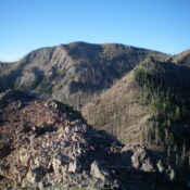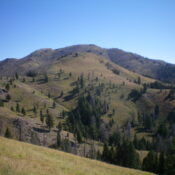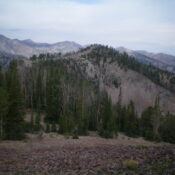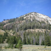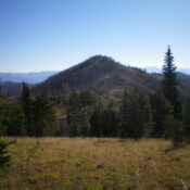
This peak is not in the book. Published November 2022 Peak 9474 sits on a high ridgeline that overlooks the Baker Creek drainage. It is at the head of Alden Gulch. It is most easily climbed from the nearby Osberg Ridge Trail/FST-147. But there is no nearby trailhead, so an off-trail scramble is required for any feasible day hike of … Continue reading