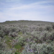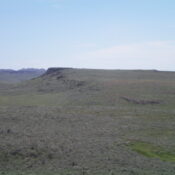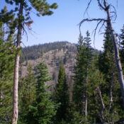
Peak 7155 (Heydlauff Peak)

This peak is not in the book. Livingston Douglas added two new routes to this entry. His routes are set out farther down the page. Updated January 2023 This peak is located southeast of the abandoned Sublett Guard Station. The name Heydlauff Peak was chosen by Rick Baugher to honor John Heydlauff, an early settler in the Rockland Valley. Rick’s … Continue reading

Peak 7424

This peak is not in the book. Published June 2021 Peak 7424 sits due north of the Sublett Range High Point. It has a north-south summit ridge and culminates in a rocky, lichen-encrusted summit. USGS Hartley Peak Access Same access as for the Sublett Range High Point. Park on the saddle due west of Peak 7424. West Face/Summit Ridge, Class … Continue reading

Peak 7032

This peak is not in the book. Published June 2021 Peak 7032 is located southeast of Peak 7321 (Mount Neilsen Scott) and north of Hartley Peak. USGS Hartley Peak Access This peak is easily climbed from FSR-569 which crosses over its western flanks. Use the access section for Mount Neilsen Scott to reach the beginning of FSR-569. From the pass … Continue reading

Peak 7321 (Mount Neilsen Scott)

This peak is not in the book. Livingston Douglas climbed the peak via a different route. His entry and photos is found down the page. Updated January 2023 This peak is the northernmost Sublett Range peak that exceeds 7,000 feet. The view from its summit extends all the way across the Snake River Plain to the Pioneer Mountains, the Lost … Continue reading

Peak 5660 (Stonecrop Peak)

This peak is not in the book. Published May 2021 This isolated summit is located southeast of Jordan Valley, Oregon and east of Jordan Peak. It is the highest point on a long ridge that parallels the northern stretches of Jordan Creek. This juniper- and wildflower-covered ridge offers pleasant hiking. The upper reaches are dotted with many patches of stonecrop. … Continue reading

Peak 5555 (Jordan Peak)

This peak is not in the book. Published May 2021 Peak 5555 is located southeast of Jordan Valley, Oregon. It has two summits of nearly equal height. The east summit is the high point. The west summit has a USGS benchmark dating from 1961. USGS Stonehouse Creek Access This peak is accessed from Flint Road, which is part of the … Continue reading