Striped Peak

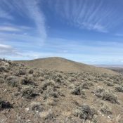
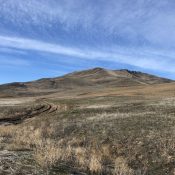
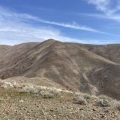
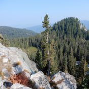
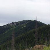
This peak is not in the book. Published March 2021 Striped Peak is a former fire lookout site located on the Saint Joe Mountain crest due south of Osborn, Idaho. In 1936, the lookout was destroyed by a wildfire. Although the lookout was never rebuilt, the view from the top is still worth the hike to the summit. USGS Wallace … Continue reading

Peak 4584

This peak is not in the book. This page covers the problematic east side approaches to this peak and Peak 4258. This peak can be climbed from the west, albeit by a longer hike, Published March 2021 Peak 4584 is an attractive summit in a relatively unknown section of the Owyhee Mountains. The peak is located southwest of Grand View, … Continue reading

Indian Head Mountain by Jason Floyd

This peak is not in the book. Published February 2021 Indian Head Mountain is a prominent peak located west of Weiser, Idaho. It rises directly above the Snake River at the end of Dead Indian Ridge. The peak has easy access and, thanks to its low elevation, is potentially a year-round destination. It also has nice views of surrounding mlunatic … Continue reading

Dead Indian Ridge by Jason Floyd

This peak is not in the book. I followed Jason’s route and have added bracketed [ ] notes to his narrative. Private property blocks access to this peak from every direction but it’s west side. Updated March 2021 Dead Indian Ridge is a prominent peak located northwest of Weiser, Idaho. It rises directly above the Snake River. The peak has … Continue reading

Peak 6940 (Dollar Creek Ridge)

This peak is not in the book. Published December 2020 Dollar Creek Ridge is located northwest of Warm Lake at the tail end of the Lick Creek subrange. USGS Warm Lake Access Access the trailhead from FS-474/FS-674 (South Fork Salmon River Road). Follow this road north to the signed trailhead at the confluence of Dollar Creek and the South Fork. … Continue reading

Peak 7345 (Shaw Twin Point)

This peak is not in the book. Published December 2020 Peak 7345 is located west of McCall, Idaho, north-northeast of Boulder Lake, and just north of Shaw Twin Lakes. USGS Fitsum Summit Access Primary access is via FS-403/Boulder Creek Road [(B)(4) on Pages 137-138]. Shortly after crossing onto State of Idaho lands, a convoluted system of logging roads is found … Continue reading