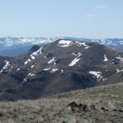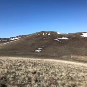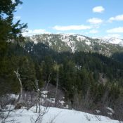
Peak 6860

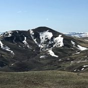
Peak 6860 viewed from Gallagher Peak.

This peak is not in the book. Published April 2020 This peak is located between Gallagher Peak and Scott Peak. Forest Service maps shows FST-029 traversing over the peak’s long summit ridge. USGS Lightning Ridge Access There is no short access route to this peak. The summit can be reached from Gallagher Peak by traversing the connecting ridge line. FST-029, … Continue reading
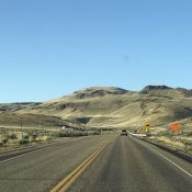
French John Hill

The lower slopes of French John Hill viewed from the north.

This peak is not in the book. Published April 2020 French John Hill is located west of US-95. The Idaho section of the Owyhee Mountains west of US-95 are part of 2 high plateau-like, rolling tablelands which are separated by Sands Basin. There are 3 ranked peaks and 4 unranked peaks found in this area. French John Hill is the … Continue reading

Salmon Butte

Salmon Butte viewed from the northwest.

This peak is not in the book. Published April 2020 The westernmost of two Idaho peaks named Salmon Butte, this peak sits west of the townsite of Reynolds, Idaho. Access the peak from the Reynolds area. USGS Soldier Cap … Continue reading

Peak 6311

The east face of Peak 6311 viewed from the northeast.

This peak is not in the book. Published April 2020 Peak 6311 is located on a broad ridge system midway between Getaway Mountain and Squaw Butte in the northwestern section of the Owyhee Mountains. Its location makes it an ideal viewpoint from which to observe this beautiful corner of the Owyhees. USGS Soldier Cap Access The best access is from … Continue reading

Getaway Mountain

This peak is not in the book. Published April 2020 Getaway Mountain is a big, high, treeless ridge that divides the Hardtrigger and Rodeo Creek drainages. The ridge has 6 high points. The northernmost summit is identified as Walker Benchmark. USGS Soldier Cap Access and Route, Class 2 The best access is from the Wilson Creek drainage located east of … Continue reading