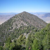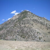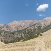
Peak 10548 by Livingston Douglas

This peak is not in the book. Published November 2024 LiDAR measurements identified Peak 10548 as a ranked summit and not simply a ridge point. It is rocky, ridgeline summit that sits on the Pahsimeroi Crest between Mount Darcy and McGowan Benchmark. Peak 10548 is most easily climbed from a steep, rocky gully on its west side. USGS Grouse Creek … Continue reading
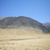
Peak 8681 by Livingston Douglas

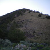
This peak is not in the book. Published November 2024 Peak 8681 is one of several foothills on the southwest side of the Pahsimeroi Mountains south of Challis. It is most easily climbed via its [mostly-open] south ridge. Peak 8681 is a double-humped mountain. The southwest summit is the high point. USGS Grouse Creek Mountain Access McGowan Creek Road/BLM-120 is … Continue reading

Peak 9330 by Livingston Douglas

This peak is not in the book. Published November 2024 Peak 9330 is a ranked bump on the lengthy southwest ridge of McGowan Peak (10,721 feet). It is most easily climbed via its [mostly-open] south ridge via a sagebrush traverse from nearby McGowan Creek Road. USGS Grouse Creek Mountain Access Same as for McGowan Peak (10,721 feet). This is the … Continue reading

Peak 10577 by Livingston Douglas

This peak is not in the book. Published November 2024 Thanks to LiDAR, Peak 10577 is now a ranked summit and not simply a ridge point. It is a ranked hump on the lengthy east ridge of Doublespring Peak (11,608 feet). Peak 10577 is most easily climbed via its north side from Cayuse Canyon. USGS Borah Peak Access From US-93 … Continue reading

Peak 9965 by Livingston Douglas

This peak is not in the book. The map elevation is 9,961 feet. Published November 2024 Peak 9965 is one of several foothills on the southwest side of the Lost River Range. It is a ranked bump on the northwest ridge of Mount McCaleb (11,679 feet). Peak 9965 is most easily climbed from a gully on its south side. Most … Continue reading