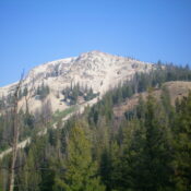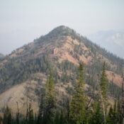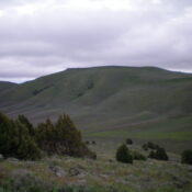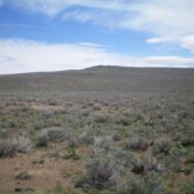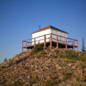
This peak is not in the book. Published November 2022 Basin Butte is located on a high ridgeline and sits at the head of the Sunday Creek and East Fork Valley Creek drainages. It has a nice fire lookout on its summit and can be reached by a 4WD service road (FSR-432/Basin Butte Road). Regrettably, Basin Butte is located in … Continue reading
Search Results for: a cl
This peak is not in the book. Published November 2022 Peak 7134 is the high point on a ridge that sits above ID-75 at the Mormon Bend Campground. It is a magnificent scramble in open terrain from the campground and I highly recommend it. USGS East Basin Creek Access Park in a pullout along ID-75 at the Mormon Bend Campground … Continue reading
This peak is not in the book. Published November 2022 Bald Mountain is a seldom-climbed peak that towers above the historic hamlet of Custer, Idaho. It sits due south of the more prominent Mount Greylock (9,857 feet). Bald Mountain separates Swift Gulch from Puzzler Gulch in the Eastern Salmon River Mountains. USGS Custer Access From ID-75, drive north from Sunbeam … Continue reading
This peak is not in the book. Published November 2022 Peak 9326 is a seldom-climbed peak that is tucked in behind, and to the north of, Bonanza Peak (9,311 feet). Indeed, it is a ranked hump on the northwest ridge of Bonanza Peak. Peak 9326 is most easily climbed in combination with Bonanza Peak. The ridge traverse between the peaks … Continue reading
This peak is not in the book. It is located on private property. You must obtain permission from the Juniper Mountain Ranch to climb this peak. Their website has contact information. Published November 2022 South Junipers HP is located on a private elk preserve that is owned by the Juniper Mountain Ranch. It is the second-highest peak in the St. … Continue reading
This peak is not in the book. Published November 2022 Sixmile Butte is a rather insignificant hump that is located just east of the Arco-Minidoka Road about nine miles south of Arco, Idaho. It is most easily climbed via its west face. This climb is entirely on BLM land. USGS Arco South Access The Arco-Minidoka (A-M) Road begins southwest of … Continue reading