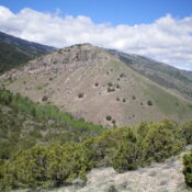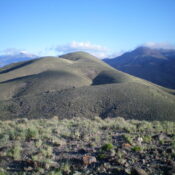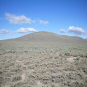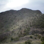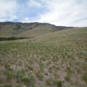
This peak is not in the book. Published January 2023 Peak 6390 is a minor hump located on the east side of the Cotterel Mountains and northwest of Malta. It is most easily climbed via its east side from ID-81. This climb covers 5.5 miles with 1,750 feet of elevation gain round trip from the first cattle gate. USGS Nibbs … Continue reading
Search Results for: a cl
This peak is not in the book. Published January 2023 Peak 6342 is an imposing, pyramidal hump that is located on the south side of Cassia Creek, just outside Elba. The easiest access is via Ottley Road (2055S Road) to its north. However, this area is a mix of private and public land but you can remain on BLM land … Continue reading
This peak is not in the book. Published January 2023 Peak 6540 is a ridgeline summit that sits on the south side of Cassia Creek, just outside Elba. The easiest access is via Ottley Road (2055S Road) to its north. However, this area is a mix of private and public land but you can remain on BLM land the entire … Continue reading
This peak is not in the book. Published January 2023 Raft Narrows Peak West is one of two peaks of identical height that are located just south of The Narrows of the Raft River at the south end of the Jim Sage Mountains. This is the second leg of a 2-peak adventure that includes Raft Narrows Peak East (5,744 feet) … Continue reading
This peak is not in the book. Published January 2023 Raft Narrows Peak East is one of two peaks of identical height that are located just south of The Narrows of the Raft River at the south end of the Jim Sage Mountains. This is the first leg of a 2-peak adventure that includes Raft Narrows Peak East (5,744 feet) … Continue reading
This peak is not in the book. Published January 2023 Peak 6300 is a hidden hump and is one of two peaks at the north end of the Jim Sage Mountains. This hike is entirely on BLM land. It is the second leg of a 2-peak adventure that includes Peak 6635 and Peak 6300. Round-trip stats: 7.0 miles with 2,900 … Continue reading