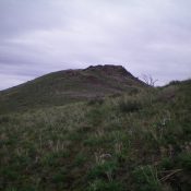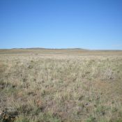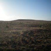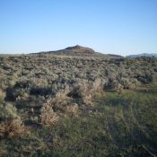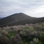
This peak is not in the book. Published November 2021 The Watchman is located at the south end of the developed part of the Craters of the Moon National Monument. It is a double-humped summit that is positioned across from, and northeast of, The Sentinel. It is a much more impressive summit than The Sentinel and is almost 50 vertical … Continue reading