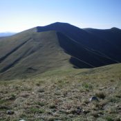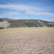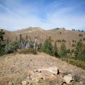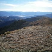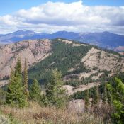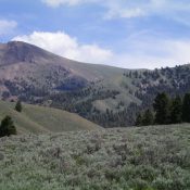
This peak is not in the book. Published November 2020 The Knuckle is a rugged, narrow ridgeline peak on the Continental Divide that sits east of the rocky outcrop called The Thumb. This climb is the second peak in a three-peak journey that includes Peak 9284, The Knuckle, and The Thumb (9,787 feet). USGS Edie Creek Access Same as for … Continue reading