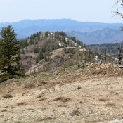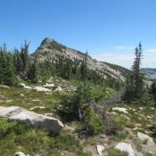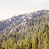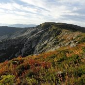
Climbing and access information for this peak is on Page 67 of the book. The toughest part about climbing Big Fog Mountain is the long drive to the trailhead. From its summit, you can access Peak 7515 and Fenn Mountain via a cross-country ridge traverse. See Dave Pahlas’ trip report linked below. USGS Fenn Mountain … Continue reading
Search Results for: a cl
Climbing and access information for this peak is on Page 144 of the book. The book calls this peak, Mores Peak based on an old map. The official name is Mores Mountain. The measured elevation of 7,237 feet is on the [lower] East Summit. The West Summit is the high point of Mores Mountain at 7,260 feet. Updated July 2022 … Continue reading
Climbing and access information for this peak is on Pages 148-149 of the book. This peak and nearby Granite Mountain provide for an easy two-peak day. The Boise National Forest map shows a trail leading to the summit. We saw the trail once we were up near the top but we could not find the trailhead. USGS Grand Mountain … Continue reading
Climbing and access information for this peak is on Page 43 of the book. Mount Roothaan sits just south of Chimney Rock. Use the link below to the Hike North Idaho site for up-to-date information as of 2015. USGS Mount Roothaan Here are a couple of photos of the view from the top. … Continue reading
Climbing and access information for this peak is on pages 148-149 of the book. The USGS has identified a lower summit with only 64 feet of prominence just to the north as Granite Mountain. This page places the name on the higher point. Neither Peakbagger nor Lists of John follow this path. Updated November 2018 This peak and two lower … Continue reading
Climbing and access information for this peak is on Pages 116-117 of the book. Updated January 2020 Stolle Peak is a tree-covered summit located 6 miles SSW of Warm Lake and W of Stolle Meadows. From 1934 to 1950, it had a fire lookout. There was not much left of this structure when I visited the summit in 1988. There … Continue reading