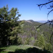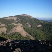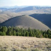
This peak is not in the book. Published December 2020 Peak 8363 is one of four unnamed peaks located on the east side of Divide Creek and east of the Continental Divide. The peaks are Peak 8363, Peak 8961, Peak 9161, and Peak 9255. They are all ranked summits and are part of a four-peak journey that covers 12.5 miles … Continue reading