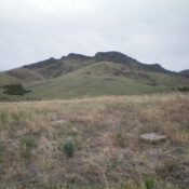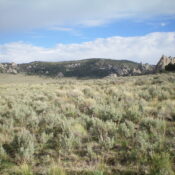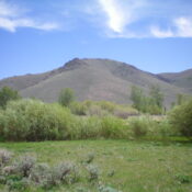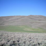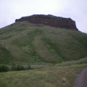
This peak is not in the book. Published January 2023 Peak 6006 is a rugged, rocky outcrop that towers over Big Cedar Canyon in the South Hills. It can be climbed in combination with nearby Peak 5940 or by itself directly from Big Cedar Canyon Road/FSR-528. The north face of Peak 6006 is a sheer, 250-foot cliff. USGS Buckhorn Canyon … Continue reading
Search Results for: a cl
This peak is not in the book. Published January 2023 Peak 7049 is a hidden summit that is tucked behind the west side of the main ridge crest of the Jim Sage Mountains. It is seldom climbed. This area is a mix of private and public land, so be careful. This climb is entirely on BLM land. Peak 7049 is … Continue reading
This peak is not in the book. Published January 2023 Peak 6635 is one of two peaks at the north end of the Jim Sage Mountains. The only public access to Peak 6635 is via ID-77 at a gravel pit. This hike is entirely on BLM land. It is part of a 2-peak adventure that includes Peak 6635 and Peak … Continue reading
This peak is not in the book. Published January 2023 Peak 7063 sits northwest of the Twin Sisters in the City of Rocks. This is the first leg of a 2-peak adventure that includes Peak 7063 and Peak 7038. USGS Almo Access From the City of Rocks Visitor Center at the south end of Almo, drive south on ID-77 for … Continue reading
This peak is not in the book. Published January 2023 Peak 7180 is the high point on a magnificent ridgeline that follows the south side of the East Fork of Fish Creek. While the summit is on BLM land, this area is a patchwork of private and public land. Please obtain permission from the landowner(s) before attempting this climb. USGS … Continue reading
This peak is not in the book. Published January 2023 Peak 7151 is located north of Fish Creek Reservoir and sits at the head of Scribbin Draw. This is the second leg of a 2-peak adventure that includes Freedom Benchmark (7,278 feet) and Peak 7151. Peak 7151 is most easily climbed from a 4WD road at the base of its … Continue reading