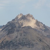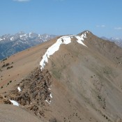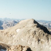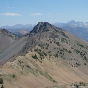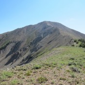
Climbing and access information for this peak is on Page 252 of the book. Livingston Douglas added additional photos. Updated November 2022 Grays Peak is accessible earlier than most Pioneer Mountain peaks. It is often climbed from the Federal Gulch Campground via its West Ridge as described in the book. USGS Grays Peak Photos of the West Ridge Route Livingston … Continue reading
Search Results for: a cl
Climbing and access information for this peak is on Pages 239-240 of the book. Peak 10566 and Peak 10598 are located in the center of the Trail Creek drainage. USGS Rock Roll Canyon Access Park Creek Road and the Trail Creek Loop Trail [(B)(1)(a) on Page 242] … Continue reading
Climbing and access information for this peak is on Page 198 of the book. Elk Peak is one the most remote peaks in the Sawtooth Range. From the east, it is a long hike including a tough stretch of cross-country travel. From the west, climbing it requires a trudge up the South Fork Payette River and a lot of elevation … Continue reading
Climbing and access information for this peak is on Page 244 of the book. Updated January 2019 Summit Creek Peak is located above the southeast fork of Summit Creek, near Trail Creek Summit, in the Pioneer Mountains. It is a ranked peak and is often climbed with an ascent of Phi Kappa Mountain. USGS Phi Kappa Mountain Access Take Trail … Continue reading
Climbing and access information for this peak is on Page 163 of the book. Mount Carter contrasts with the other peaks around it, like Merritt Peak, Mickeys Spire, Thompson Peak and Williams Peak, as it is a rounded high point and not a steep, granite-encrusted peak. USGS Stanley Lake … Continue reading
Climbing and access information for this peak is on Page 239 of the book. Updated July 2020 Peak 10598 is located in the upper reaches of the Trail Creek drainage. The drainage is surrounded by eleven 10,000-foot peaks. This peak and Peak 10566 sit in the middle of this group. USGS Rock Roll Canyon Access Park Creek Road, FS-140 and … Continue reading