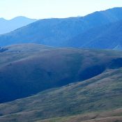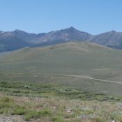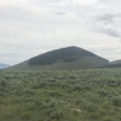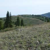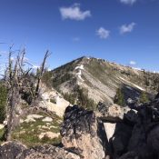
Climbing and access information for this peak is on Page 70 of the book. Published July 2020 North Pole is located roughly 17 miles SW of Elk City in the Gospel Hump Wilderness. Unlike its slightly taller neighbor, Buffalo Hump, it is easily reached by trail. A fire lookout was established on the peak in 1927. The lookout was decommissioned … Continue reading
Search Results for: a cl
Climbing and access information for this peak is on Page 70 of the book. Three routes, all still viable, are listed in the book. The shortest route is described in more detail below. The trails in this area are infrequently maintained and expert trail-finding abilities may be required. Published July 2020 Oregon Butte is a shark tooth-shaped summit located 24 … Continue reading
This peak is not in the book. Published July 2020 Corral Creek Summit is a small peak that sits just west of the point where the Burma Road crosses the White Knob Mountains crest at Corral Creek Summit. It may be a minor summit but it has a major 360-degree view. USGS Lehman Butte Access and Route, Class 1 Primary … Continue reading
This peak is not in the book. Livingston Douglas provided additional photos. Updated November 2020 Reed and Davis Benchmark is a straggler on the edge of the White Knob Mountains. It is located just northwest of the Copper Basin Guard Station. USGS Copper Basin Knob Access Access this peak from Copper Basin [(B) on Page 265 of the book]. Drive … Continue reading
This peak is not in the book. Published June 2020 This minor peak is located on the ridge line that connects the main Lost River Range crest with the Hawley Mountains. USGS Hawley Mountain Access Primary access to this peak is from the Deer Creek Pass Road/FS-279 which, in turn, can be reached from the Wet Creek/Pass Creek Road [(A)(5) … Continue reading
This peak is not in the book. Updated January 2023 Skyline Peak sits on the main Albion Range crest midway between Mount Harrison and Mount Independence. The peak has two summits of nearly equal height. The Skyline Trail crosses its summit. USGS Mount Harrison Map Errors First, the point elevation for Peak 7362 is too high for the final contour … Continue reading