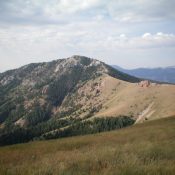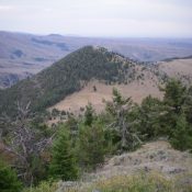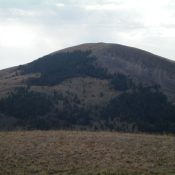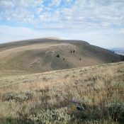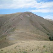
This peak is not in the book. Published December 2020 Peak 9660 is one of five ranked peaks that surround the upper reaches of Irving Creek. Two of the peaks are on the Continental Divide and a third peak is very close to the CD. This five-peak adventure includes Peak 8589, Peak 9521, Peak 9660, Peak 9201, and Peak 8881. … Continue reading